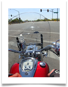

We're heading out
My view ...
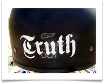
the back of Scott's helmet
the back of Scott's helmet
Our Motorcycle Ride to Tortilla Flat
April 6, 2013
What's Tortilla Flat, you may ask? Click Here.
(Comments made by Barbara)
Be sure to watch our video at the end of the photos.
April 6, 2013
What's Tortilla Flat, you may ask? Click Here.
(Comments made by Barbara)
Be sure to watch our video at the end of the photos.
Click on any picture for a larger view
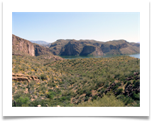
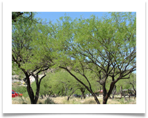
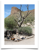
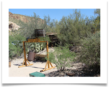
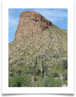
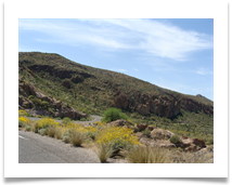
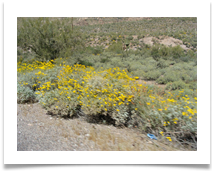
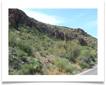
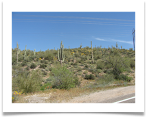
Beautiful countryside. Everything was green and blooming.
My number 3 reason why I like Arizona.
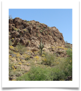
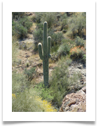
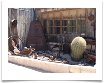
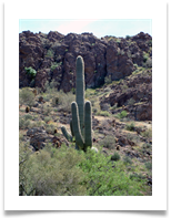
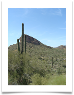
The saguaro cactus.
The saguaro cactus.
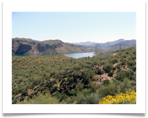
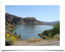
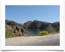
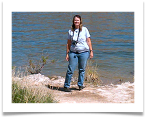
Canyon Lake ... about 2 miles away from Tortilla Flat
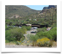
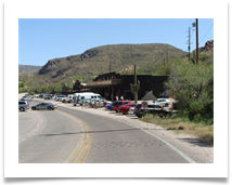
This is Tortilla Flat
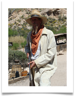
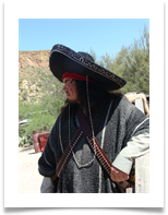
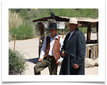
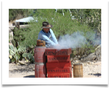
These cowboys were really mean. They started shooting each other.
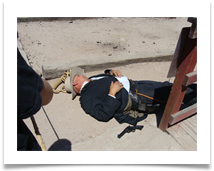
The Marshall didn't make it out alive.
Poor fella ... he seemed like a nice guy.
Poor fella ... he seemed like a nice guy.
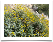
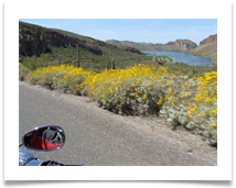
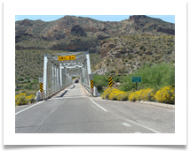
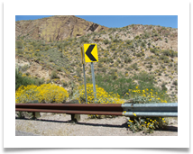
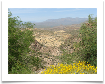
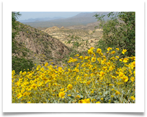
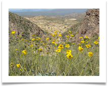
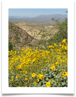
On our way back home. The flowers were beautiful.

A one-lane bridge.
Be sure to watch our video.
Be sure to watch our video.
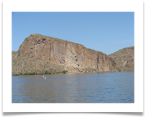
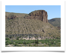
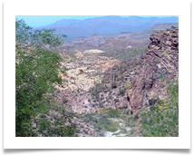
An incredible view of a very scenic canyon.
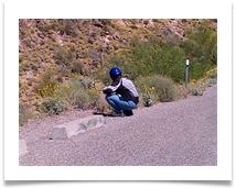
I'm taking pictures ... not going pee.
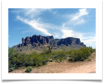
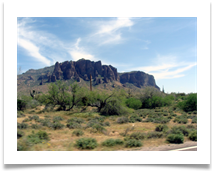
Superstition Mountains next to Lost Dutchman's Mine
The background noise is the wind caused from our moving. The motorcycle sound is barely audible.
You might want to turn your sound off.
You might want to turn your sound off.
What's Tortilla Flat?
Tortilla Flat is a small unincorporated community in far eastern Maricopa County, Arizona, United States. It is located in the central part of the state, northeast of Apache Junction. It is the last surviving stagecoach stop along the Apache Trail.
Based on available records Tortilla Flat got its start because of the road construction to Roosevelt Dam in 1904. There was a need for a stagecoach stop for freight haulers on their way to the construction site at Roosevelt Dam and Tortilla Flat served that purpose. Shortly following the construction of the road, Roosevelt Dam became a big tourist attraction. At that point Tortilla Flat was a stage stop for tourists and mail carriers through the 1930s.
[Read More]
Source: http://en.wikipedia.org/wiki/Tortilla_Flat,_Arizona
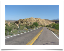
We're going that way


